Shortly after we departed from Brookings and started working our way south, we encountered the wind and waves that make NOAA groundfish scientists call the area offshore from the Southern Oregon and Northern California coast “the blow hole.”
Our field party chief (FPC), Aaron Chappell, wrote a very informative blog post explaining the conditions that kept our survey vessels stuck in Eureka for a few days, how the survey allows for some flexibility related to weather, and what would happen if we weren’t able to complete all of the scheduled stations.
From Aaron’s blog:
In the late spring and summer, low pressure typically builds inland across southern Oregon and northern California as inland weather warms, with high pressure systems moving onshore to fill the pressure gradient. High winds out of the northwest almost always develop under this type of weather pattern.
While our chartered commercial fishing vessels are capable of safely navigating these tumultuous waters and high winds, fishing operations become less efficient, and more importantly, unsafe. While a captain and FPC work together to decide when conditions are unfishable, the general rule is anything greater than 30 knots of wind and combined seas (wind waves and swell added together) greater than 12-15 feet means we’re throwing the towel in.


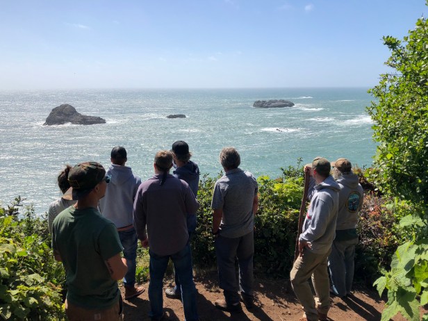
The weather delay meant that we had time for an unexpected visit to the Prairie Creek Redwoods, a drive on the Avenue of the Giants, and an ocean view from a different perspective on Trinidad Head.
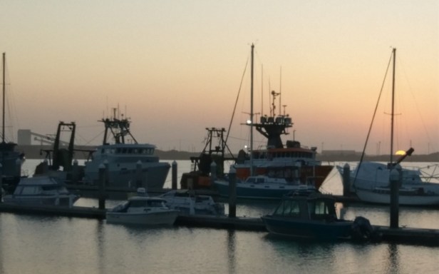
…our survey was delayed three days by the persistent strong northwest winds and swell. Sustained winds of 25-35 knots with gusts of 45 knots and combined seas approaching 20 feet were observed at nearby buoys. By the evening of the third day, the winds finally started to calm and the weather forecast showed improving conditions for the next several days. We left on high tide in the early morning of June 17th and were fishing again the next morning.
Each survey vessel is randomly assigned 188 stations to complete during 47 fishing days. Because we know the typical weather patterns, we generally try to complete a few extra stations on the first two legs in order to give us a buffer should bad weather, a mechanical breakdown, or some other emergency set us back. This year, the first two legs had remarkably calm weather, and both vessels were able to work hard then, as well as after our Eureka Weather Delay, where we were able complete work at all our stations. Occasionally, bad weather persists for a week or more, and we have to drop stations from our survey design, as we become so far behind in our schedule to complete the work. However, we are proud both vessels ended Leg 3 right on schedule!
